Researcher Story
Reconstructing Geologic History with Digital Outcrop Models
Dr. Gourab Bhattacharya’s research focuses on reconstructing the evolution of sedimentary basins and mountain belts using geochronology, thermochronology, sediment provenance, and geospatial analysis. Much of his current work centers on the Cumberland Plateau in the southern Appalachian Basin.
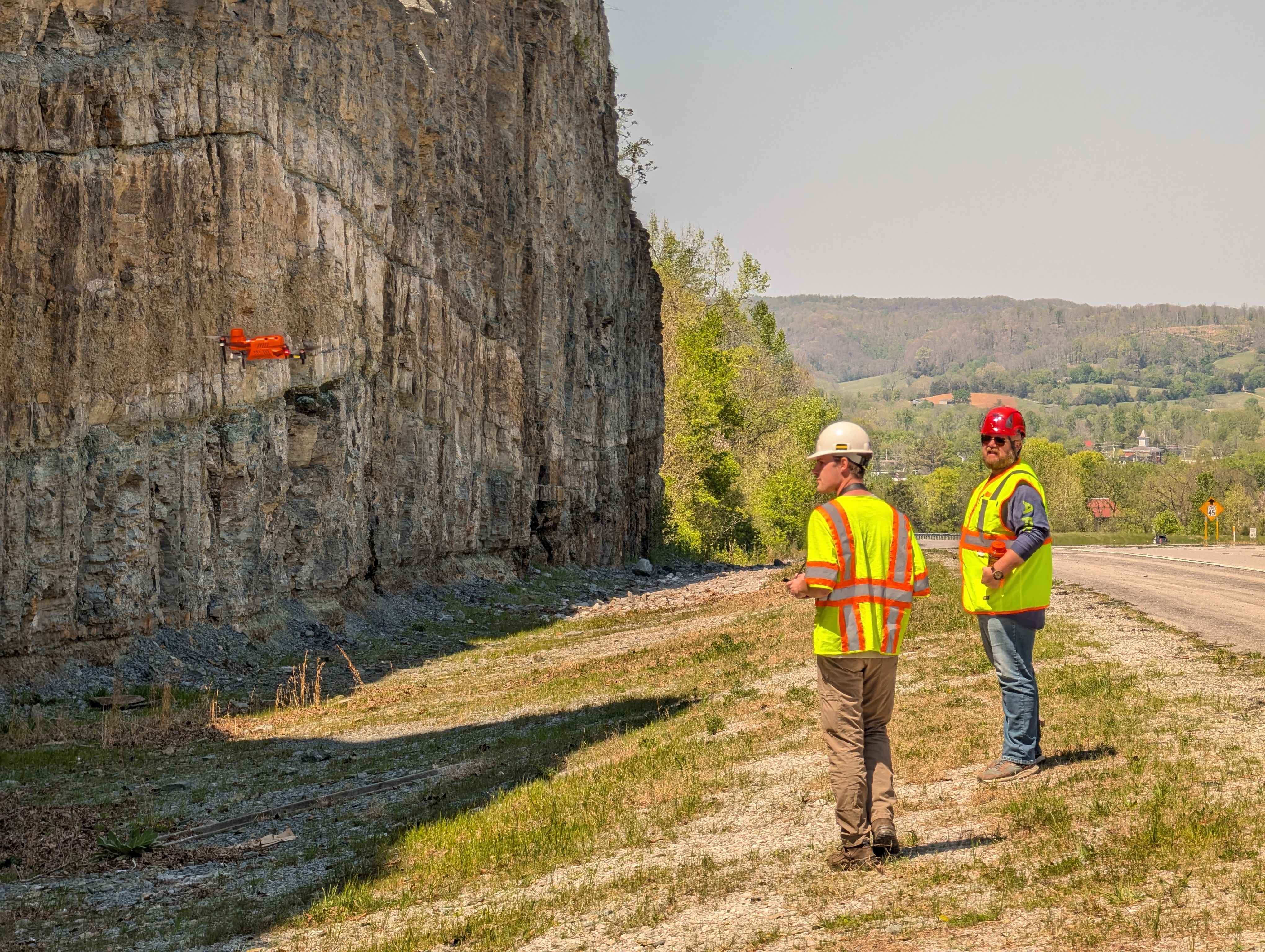
By combining field geology, analytical methods, and large geospatial datasets, the research group investigates the geologic evolution of the region. UAVs make it possible to document large or difficult-to-access geological exposures by capturing hundreds of overlapping high-resolution photographs at a single site.
Those photographs can then be processed into detailed three-dimensional digital outcrop models and image mosaics. These models allow researchers to examine and document geological features at a scale and level of detail that would be difficult to capture using field observations alone.
How RCD Supports the Research
Research Computing & Data supports this work through high-performance computing for digital outcrop modeling. Creating a model can require stitching together hundreds of overlapping UAV photographs—a computationally intensive process that would be difficult and time-consuming on an individual workstation.
RCD’s high-performance computing resources allow the research group to automate and accelerate this workflow, making it possible to process large imagery datasets and generate high-resolution three-dimensional models and mosaics much more efficiently.
The RCD team also trained undergraduate researchers Gabe Babbit and Asher Seiling to use the HPC workflow for processing UAV imagery and producing digital outcrop models. This training allows students to participate directly in both the field and computational components of the research.
Research Team
Dr. Gourab Bhattacharya, Philip Roberson, Gabe Babbit, Asher Seiling
Department of Earth Sciences
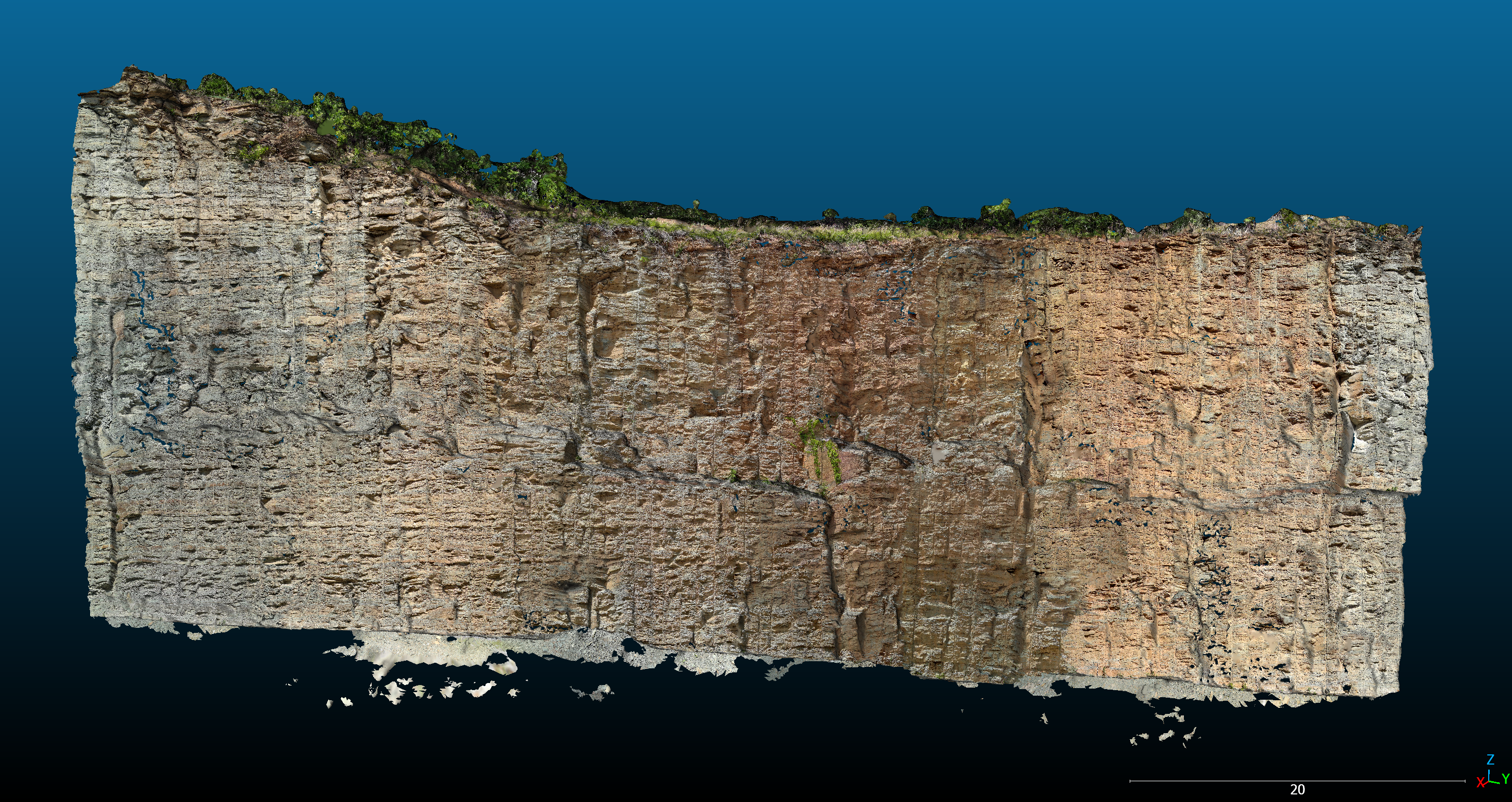
Three-dimensional digital outcrop model of the Celina East roadcut in Tennessee, generated using Tennessee Tech's high-performance computing resources from approximately 750 high-resolution UAV images.